Chalk Downland Restoration
In 2021 we started a really exciting new habitat creation and restoration project on two large fields on the southern slopes of the Hog’s Back.

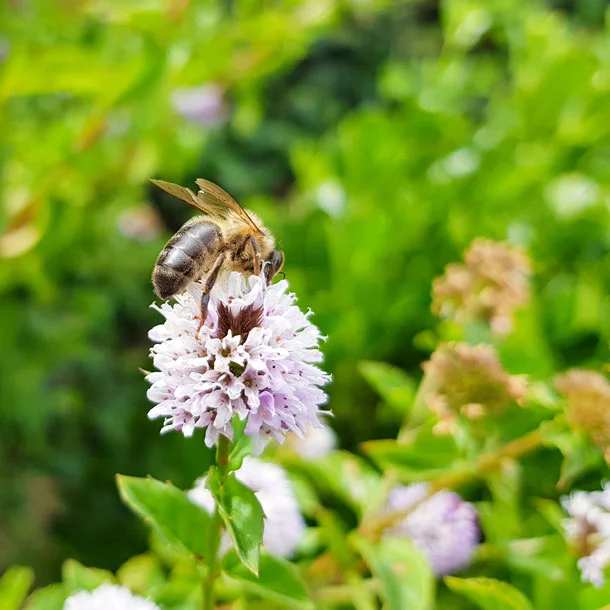
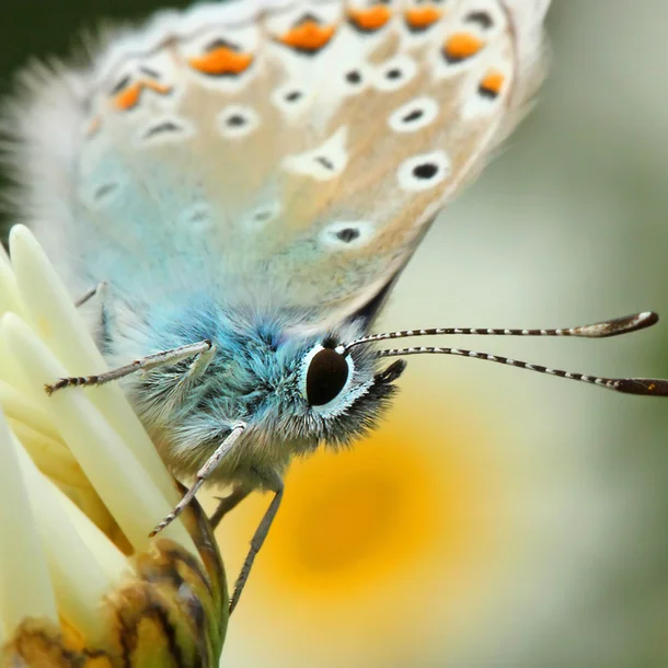
In 2021 we started a really exciting new habitat creation and restoration project on two large fields on the southern slopes of the Hog’s Back. The area is 15 hectares in total and is made up of chalk grassland, hedges, scrub and pockets of woodland. Chalk grasslands are some of the most plant and insect-rich habitats in the UK and support some of our rarest orchid, butterfly and bee species. We are actively restoring the chalk grassland across this area, because it’s a really important habitat corridor for precious chalk downland running west – east along the Hog’s Back. We are also creating two new shelter belts of biodiverse broadleaved woodland, which will link up with existing ancient woodland, increase carbon sequestration and create a buffer to the noise and air pollution of the A31. The whole of the site is part of a BLine, an insect super-highway, meaning it is of strategic significance for pollinators.
What are we doing?
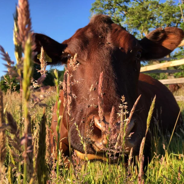
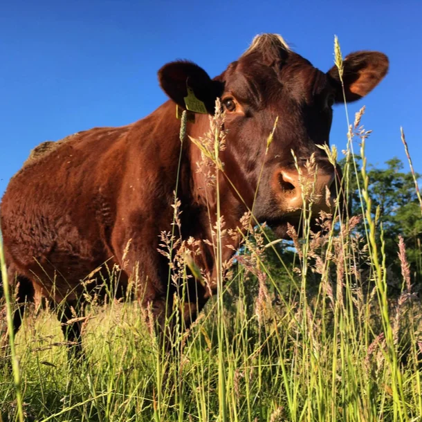
To restore the chalk grasslands, we are going to bring our herd of regeneratively-managed Sussex cows in to graze the grasses. Low intensity grazing creates a varied grassland structure which supports a diversity of wildlife. We have to manage the grazing carefully – too heavy grazing produces a uniform grassland whereas too little results in rank grasses and scrub encroachment. It’s all about balance! With the support of the Farming in Protected Landscapes scheme, we have planted several small clumps of broadleaf trees on the chalk grassland, to provide shade for grazing animals in the future. This also creates a landscape continuity from the historic parkland clumps of trees in Great Down. Over the past two years we have hosted lots of groups of volunteers who have helped us to remove the hawthorn scrub on the grassland, we do this through a clever hand-tool called a ‘popper’.
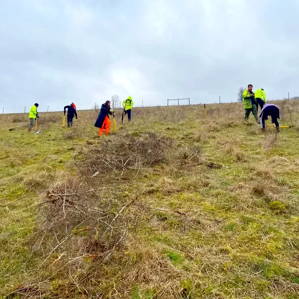
To create the new Queen Elizabeth’s Wood, we have planted almost 6 hectares of new trees, a mixture of Beech, Oak, Hornbeam, Small Leaved Lime, Wild Cherry, Whitebeam, Hawthorn, Wild Service, Italian Alder and Hazel. The trees were planted in 2021 and we have fenced the new woodland to give it the best chance of growth and to stop it from being grazed by deer. We have registered the new trees under the Woodland Carbon Code, which means we know that once they are fully grown they will have sequestered 3027 tonnes of carbon dioxide. The new woodland will also help Surrey County Council’s target to plant 1.2 million new trees by 2030. The Woodland is also registered as part of the Queen’s Green Canopy, celebrating the Platinum Jubilee.
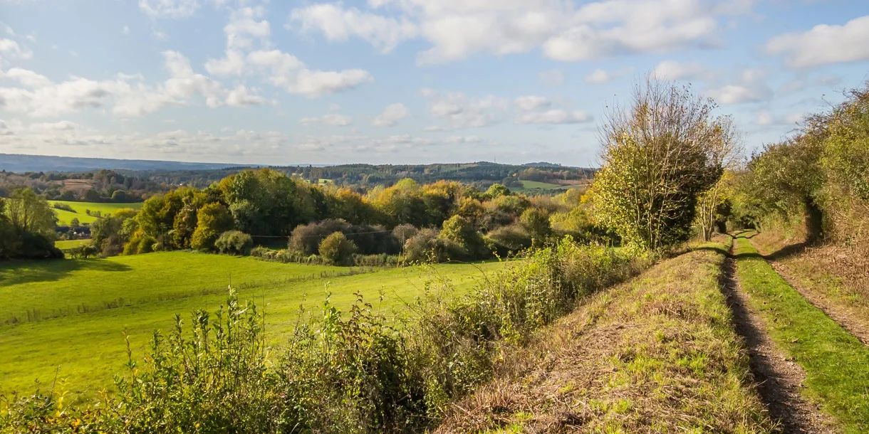
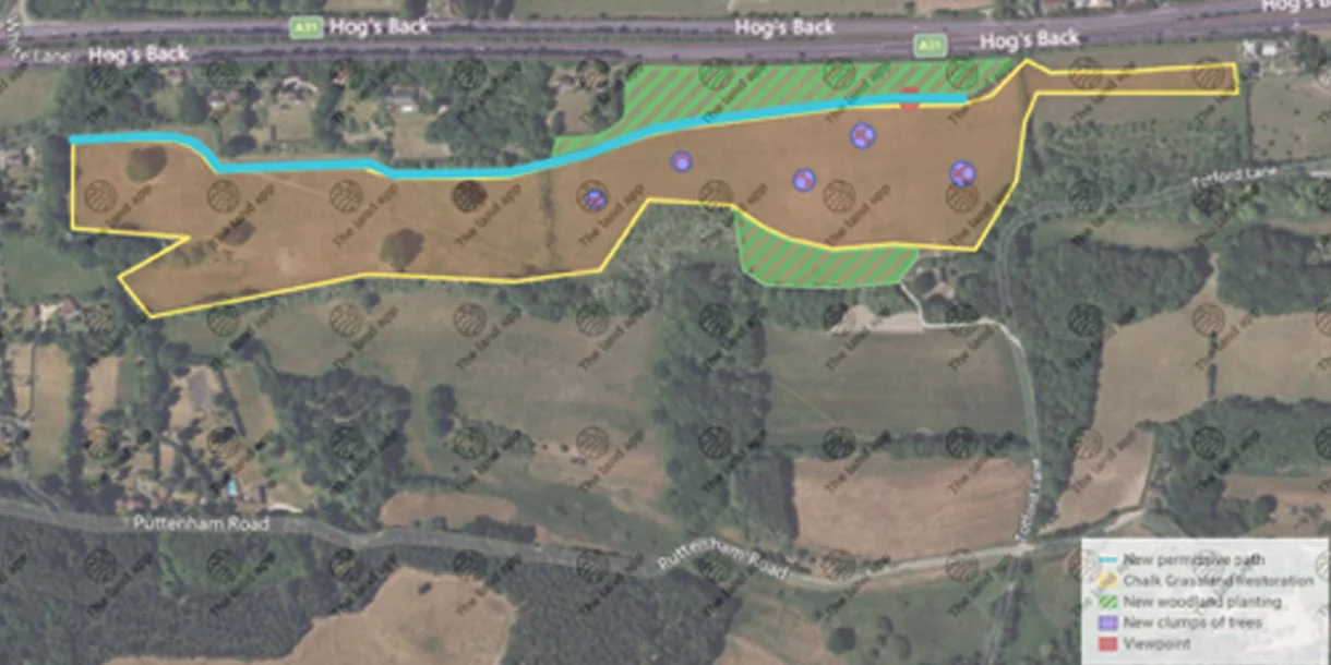
To increase everyone’s access to nature, we have created a new permissive footpath that runs right through the project! It is a 2 km trip along the path and back and provides one of the most spectacular views across the Surrey Hills. Follow the path until you reach the viewpoint, on a clear day you can see not only the Devil’s Punchbowl at Hindhead, but on to the ridge of the South Downs, and sometimes even the hills on the Isle of Wight. The view is breath-taking, particularly when you think that you are only 35km from the hustle and bustle of central London.
We really hope you enjoy the new footpath, please don’t drop any litter, pick up any dog poo and keep dogs under control, away from livestock and preferably on a lead.
Species to look out for
When you’re enjoying the new path through these grasslands and newly planted woodland, keep your eyes and ears open for a huge diversity of species:
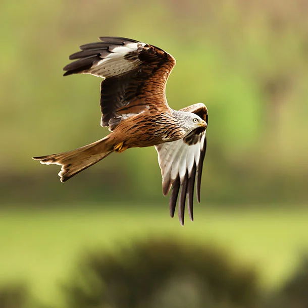
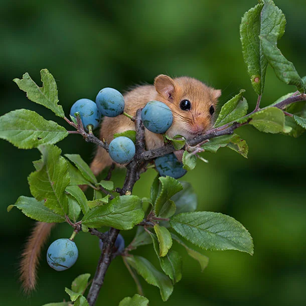
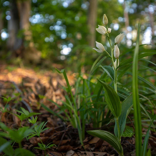
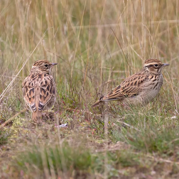
Birds: Kites, Buzzards, Kestrels, Skylarks, Barn Owls.
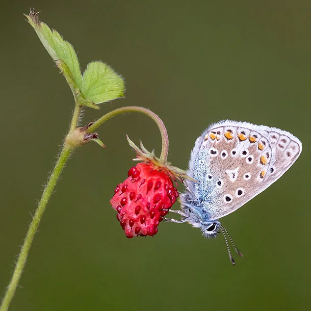
Butterflies: Small Blue, Brown Hairstreak, Grizzled Skipper, White-lettered Hairstreak, Dark Green Fritillary, as well as more common butterflies such as Small Tortoiseshell, Small Skipper, Ringlet, Red Admiral, Marbled White, Meadow Brown and Common Blue.
Mammals: Hazel Dormice and bats of all types!
Plants: Wild Liquorice, Hound’s-tongue, Common Eyebright, Wild Strawberry, Common Cudweed, Field Pepperwort, Corn Mint, Field Scabious, Bird’s-nest Orchid, Quaking grass, White Helleborine, Pyramidal Orchid, Wild Basil, Hairy St Johns Wort, Bulbous Buttercup, Fairy Flax, Wild Marjoram, Mouse-ear-hawkweed, Common Milkwort, Cowslip and Hairy Violet.
The latest Surrey Botanical Survey of these fields recorded
- 11 species of national importance (two ‘vulnerable, the remainder ‘near threatened’)
- Wild Liquorice which is a species of considerable importance in Surrey
- 27 species characteristic of calcareous grassland in Surrey
What is the history of these fields?
We have used Tithe Maps from 1840 and the Land Utilisation Survey from 1936 to provide an indication of the historic use of these fields. Historically, the field boundary between Long Down and Little Long Down is likely to have been ancient feature and was once the old parish boundary between Puttenham and Seale.
The area is likely to have been chalk grassland or arable land for many centuries. Great Down field (called Hither Mount Pleasant on the Tithe map) was converted from arable to grassland in the latter part of the 19th century and has remained as grassland ever since. It was once a type of parkland with ornamental planting, connected to Great Down House, above the field. Great Down’s good quality semi-improved chalk grassland was possibly established over 100 years ago and is now considered borderline Lowland Calcareous Priority Habitat.
Long Down was an arable field until 1990s, when ploughing was abandoned and it was reverted to grassland. Little Long Down is called Acres Down on the Tithe map and like Long Down, it was also in arable use until the 1990s. Over the past 25 years there has been no agricultural input and only annual mowing on these fields, and this has enabled the grasslands to gradually improve over time.
What about the site’s geology and soil type?
The site is on the ridge of the Hogs Back, 145m above sea level. The British Geological Survey describes the chalk as the ‘White Chalk Sub-group’ which is divided into three separate chalk layers – Lewes Nodular Chalk Formation along the upper slopes, undifferentiated Holywell Nodular Chalk Formation and New Pit Chalk Formation on the mid slope and undifferentiated West Melbury Marly Chalk Formation and Zig Zag Chalk Formation under the lower slopes.
There is a mix of soil types across the area, with rare rendzina soils in the upper slopes and calcareous brown earth soils in the lower slopes. Under the Cranfield Soil and Agrifood Institute’s Soilscape Map, the broader soil type across the area is ‘shallow lime-rich soils over chalk or limestone’.
Project partners:
This project has involved collaboration and partnership with lots of different organisations – Farming in Protected Landscapes, Access Fund, EPR, Natural England, Forestry Commission, Butterfly Conservation, Penfolds Forestry, Surrey Nature Partnership.